To achieve proper printing results, choose 'Portrait Orientation' and 'Fit to Page' options in your print settings.
 |
|
The Business: Stoke-upon-Trent
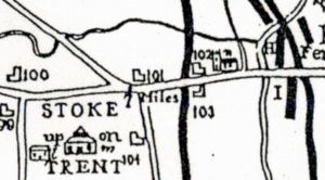
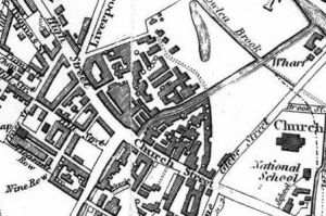
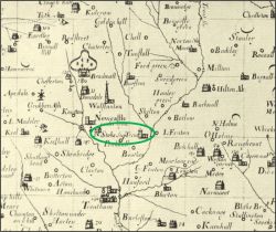
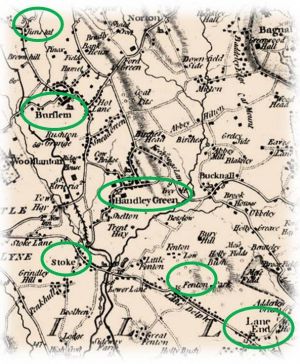
Dated to about 1670, Dr. Robert Plot’s map shows Stoke-upon-Trent, complete with its own church. Dedicated to St. Peter ad Vincula (St. Peter in Chains), it was the first place of meeting and worship in the area. The first church, built of wood in 1670, was rebuilt of stone in 1805 and extended over the years until it was demolished in 1826 to make way for the present building. It was almost in the shadow of this church that the first Josiah Spode lived most of his life. William Yates’ map of 1775 (to the right) shows the townships and communities as they began to develop around the center of the major pottery-making towns, from Tunstall through Burslem, Handley Green (Hanley), Stoke, Lane Delph (Fenton) and Lane End (Longton). In A View of the Staffordshire Potteriesprinted in 1800 by Thomas Allbut, Stoke -upon-Trent was described as " a pleasant rural place, and contains some handsome buildings. It has many earthenware manufactories, some of which are upon an extensive scale.” It was in these environs that Josiah Spode grew up and began his illustrious pottery. The 1832 Thomas Hargreaves’ Map of the Staffordshire Potteries and Newcastle-under-Lyme,
Stoke-upon-Trent 1800 Stoke-upon-Trent 1832
|
Spode Works Stoke-upon-Trent |
http://spodeceramics.com/history/business-stoke-upon-trent
| |